InSite Elevation Pro
3 Reviews 5/5 ★ ★ ★ ★ ★An earthwork takeoff and GPS modeling software that allows users to calculate cut and fill, paving and concrete materials, and more.
Product Overview
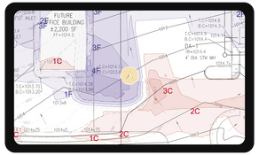
InSite Elevation Pro is an earthwork takeoff and GPS modeling software. Key features include the ability to work with multiple data sources simultaneously, such as vector files and drone data. The software is portable and does not require a digitizer, making take-offs possible from anywhere. It also simplifies aligning multi-page documents, and no tracing is required on vector PDFs.Pros
- Supports data from multiple sources (PDF, DWG, DXF, drone data)
- Effective node snapping for quick tracing
Cons
- Aligning multiple plan sheets can be difficult
- Lacks live 3D view updating
Target Market
Construction professionals, including engineers, estimators, and contractors focused on earthworks. Best for companies with 2 to 200 employees.InSite Elevation Pro is a complete PDF & CAD earthwork takeoff and GPS modeling software. The KMZ and GPS machine control export feature allows users to share data to the field from the office.
It stands out for its node snapping feature, which expedites tracing gradelines, subgrades, and strip areas. InSite also includes support seven days a week and weekly live training classes.
InSite Elevation Pro Key Features
- Takeoff from CAD, PDF, and Drone/GPS data
- No more tracing with line selection
- Powerful topsoil removal and demolition tools
- Rock-Alert
- KMZ export with a GPS-enabled geo-browser
- Instantaneous subgrade adjustments
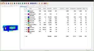
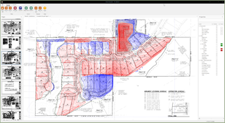
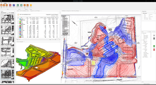
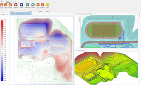
- Cut & fill contour map
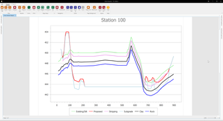
- High-quality graphics and easy-to-read reports to prove your numbers
- Import and export CAD files
- Work with PDF, CAD, Google Earth, and drone data simultaneously
- Work across multiple documents at the same time
- Integrated materials take-off such as concrete, asphalt, etc.
- Turn primitive designs into accurate quantities
- Value engineer with the Dynamic Site Balancer
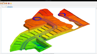
- Create GPS machine control models
Insite Elevation Pro Target Market
Earthwork estimators, project managers, engineers, or anyone who needs accurate earthwork quantities.
Video Overview
Product Overview
Developer Overview
Related Products
User Reviews of InSite Elevation Pro
Write a ReviewInSite Elevation Pro Review
I have done estimating for three different companies and now my own. Throughout each I kept saying: “I NEED ELEVATION PRO” I have not found a better program yet!
InSite Elevation Pro Review
InSite keeps making the software better and more powerful every year. This helps gives an edge over our competition.
InSite Elevation Pro Review
InSite Software has been a fantastic tool for me. It takes the guesswork out on bidding and has saved me so much time on estimating a project.

